 Lýsigagnagátt
environment
Type of resources
Available actions
Topics
INSPIRE themes
Keywords
Contact for the resource
Provided by
Years
Formats
Representation types
Update frequencies
status
Scale
-

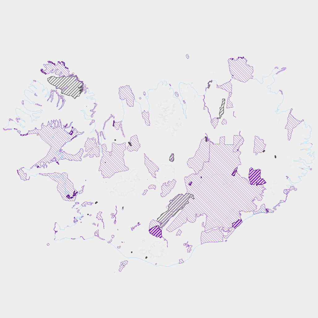
Corine Land Cover (CLC) 2012 and CLC change 2006-2012 are two of the datasets produced within the frame of the Initial Operations of the Copernicus programme (the European Earth monitoring programme previously known as GMES) on land monitoring. Corine Land Cover (CLC) provides consistent information on land cover and land cover changes across Europe. This inventory was initiated in 1985 (reference year 1990) and established a time series of land cover information with updates in 2000, 2006 and 2012 being the last one. CLC products are based on photointerpretation of satellite images by national teams of participating countries - the EEA member and cooperating countries – following a standard methodology and nomenclature with the following base parameters: 44 classes in the hierarchical three level Corine nomenclature; minimum mapping unit (MMU) for status layers is 25 hectares; minimum width of linear elements is 100 metres; minimum mapping unit (MMU) for Land Cover Changes (LCC) for the change layers is 5 hectares. The resulting national land cover inventories are further integrated into a seamless land cover map of Europe.Land cover and land use (LCLU) information is important not only for land change research, but also more broadly for the monitoring of environmental change, policy support, the creation of environmental indicators and reporting. CLC datasets provide important datasets supporting the implementation of key priority areas of the Environment Action Programmes of the European Union as protecting ecosystems, halting the loss of biological diversity, tracking the impacts of climate change, assessing developments in agriculture and implementing the EU Water Framework Directive, among others.More about the Corine Land Cover (CLC) and Copernicus land monitoring data in general can be found at http://land.copernicus.eu/.
-

Umhverfisstofnun skal halda skrá yfir svæði þar sem er mengaður jarðvegur eða þar sem grunur er um mengun. Þar skulu koma fram upplýsingar um staðsetningu, stærð, tegund mengunar og ástæðu þess að svæði er mengað eða grunum leikur á mengun.
-

Vinsamlega hafið samband við Umhverfisstofnun vegna nánari upplýsinga.
-
Þekja ni_tillogur_a_Bhluta_allt_fl: Tillögur að svæðum á framkvæmdaáætlun (B-hluta) náttúruminjaskrár út frá verndun vistgerða, fugla, sela, jarðminja og fossa. Innan stærri verndarsvæða voru í sumum tilfellum afmörkuð smærri svæði sem draga fram forgangsvistgerðir eða fuglategundir sem eru ekki einkennandi fyrir heildarsvæðið. Mörk eru ekki alltaf nákvæmlega skilgreind. Náttúruminjaskrá skiptist í þrjá hluta sem auðkenndir eru sem A, B og C-hluti. B-hluti er framkvæmdaáætlun náttúruminjaskrár þ.e. skrá yfir þær náttúruminjar sem Alþingi hefur ákveðið að setja í forgang um friðlýsingu eða friðun á næstu fimm árum. Í lögunum er lögð áhersla á að byggja upp skipulegt net verndarsvæða til að stuðla að vernd líffræðilegrar fjölbreytni, jarðbreytileika og fjölbreytni landslags. Náttúrufræðistofnun Íslands gerir tillögur um minjar sem ástæða þykir til að setja á framkvæmdaáætlun, þ.e. B-hluta. Að loknu því vali felur ráðherra Umhverfisstofnun að meta nauðsynlegar verndarráðstafanir á svæðum sem til greina kemur að setja á framkvæmdaáætlun og kostnað við þær. Í því ferli koma fram ýmsir aðrir hagsmunir sem geta haft áhrif á endanlegt val svæða en eru sem slíkir ekki grunnþættir í vali á svæðum til að viðhalda ákjósanlegri verndarstöðu vistgerða, vistkerfa eða tegunda. Að lokum mun Umhverfis-, orku- og loftslagsráðuneytið í samráði við ráðgjafanefnd leggja fram þingsályktunartillögu um verndun svæða. Tillögurnar eru enn í úrvinnslu hjá Umhverfisstofnun og umhverfis-, orku- og loftslagsráðherra (staða 23. febrúar 2022). Afmörkun svæða í tillögum Náttúrufræðistofnunar er ekki alltaf nákvæmlega skilgreind og getur tekið breytingum við áframhaldandi undirbúning framkvæmdaáætlunar.
-
Vinsamlega hafið samband við Umhverfisstofnun vegna nánari upplýsinga.
-

[IS] Gagnasettið sýnir staðsetningar ýmissra vefmyndavéla fá nokkrum aðilum sem settar hafa verið upp til þess að fylgjast með eldgosum í kringjum Sundhnjúksgíga. WMS þjónusta: https://gis.natt.is/geoserver/wms WFS þjónusta: https://gis.natt.is/geoserver/wfs Nafn á gagnasetti: LMI_vektor:gos_Reykjanes_webcams [EN] The dataset shows the locations of various webcams from several operators that have been installed to monitor volcanic eruptions around Sundhnjúksgígar. WMS service: https://gis.natt.is/geoserver/wms WFS service: https://gis.natt.is/geoserver/wfs Dataset name: LMI_vektor:gos_Reykjanes_webcams
-

The Corine Land Cover datasets CLC2000, CLC2006 and CLC change 2000-2006 areproduced within the frame of the GMES land monitoring project. Corine Land Cover (CLC) provides consistent information on land cover and land cover changes across Europe. This inventory was initiated in 1985 (reference year 1990) and established a time series of land cover information with updates in 2000 and 2006.CLC products are based on photointerpretation of satellite images by national teams of participating countries - the EEA member and cooperating countries – following a standard methodology and nomenclature with the following base parameters: 44 classes in the hierarchical three level Corine nomenclature; minimum mapping unit (MMU) for status layers is 25 hectares; minimum width of linear elements is 100 metres; minimum mapping unit (MMU) for Land Cover Changes (LCC) for the change layers is 5 hectares. The resulting national land cover inventories are further integrated into a seamless land cover map of Europe.Land cover and land use (LCLU) information is important not only for land change research, but also more broadly for the monitoring of environmental change, policy support, the creation of environmental indicators and reporting. CLC datasets provide important datasets supporting the implementation of key priority areas of the Environment Action Programmes of the European Union as protecting ecosystems, halting the loss of biological diversity, tracking the impacts of climate change, assessing developments in agriculture and implementing the EU Water Framework Directive, among others.More about the Corine Land Cover (CLC) and Copernicus land monitoring data in general can be found at http://land.copernicus.eu/.
-
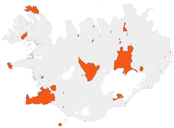
Gögnin sýna svæði þar sem rjúpnaveiði er óheimil allt árið um kring.
-

[IS] Gagnasettið sýnir staðsetningar botndýra sem hafa rannsökuð við íslandsstrendur. Innan íslenskrar efnahagslögsögu eru þekktar rúmlega 2.500 tegundir sjávardýra, en vísast eru þær umtalsvert fleiri. Tegundafjölbreytni hinna ýmsu dýrafylkinga á Íslandsmiðum er afar misvel þekkt en fastlega má gera ráð fyrir að hlutföllin séu svipuð og á heimsvísu. Upplýsingar um ýmsar tegundir sjávardýra á Íslandsmiðum eru á vefsíðum um dýrahópa, sjá: https://www.natt.is/is/leit-i-biota?kingdom_group.keyword=%2522D%25C3%25BDr%20%2528Animalia%2529%2522 [EN] The dataset shows the locations of benthic invertebrates that have been studied along the coasts of Iceland. Over 2,500 marine animal species have been found in Iceland’s exclusive economic zone, but there are certainly many more. Species diversity within some animal phyla in Icelandic waters is still poorly understood. Presumably, however, species fall under different phyla in similar proportions as elsewhere in the world. Information on marine animal species in Icelandic waters can be found on animal fact sheets on the NSII website.see: https://www.natt.is/is/leit-i-biota?kingdom_group.keyword=%2522D%25C3%25BDr%20%2528Animalia%2529%2522
-

[IS] Gagnasettið er unnið í samstarfi við Landbúnaðarháskóla Íslands og sýnir þau svæði á Íslandi þar sem er mest rykmengun. Fyrir frekari upplýsingar um gagnasettið er best að hafa samband við Náttúrufræðistofnun. WMS þjónusta: https://gis.natt.is/geoserver/wms WFS þjónusta: https://gis.natt.is/geoserver/wfs Nafn á gagnasetti: copernicus:rykt_hotspots [EN] This dataset was produced in collaboration with the Agricultural University of Iceland and shows the areas in Iceland with the highest levels of dust pollution. For further information about the dataset, please contact the Natural Science Institute of Iceland. WMS service: https://gis.natt.is/geoserver/wms WFS service: https://gis.natt.is/geoserver/wfs Dataset name: copernicus:rykt_hotspots