 Lýsigagnagátt
dataset
Type of resources
Available actions
Topics
INSPIRE themes
Keywords
Contact for the resource
Provided by
Years
Formats
Representation types
Update frequencies
status
Scale
Resolution
-

[IS] Gagnasettið sýnir staðsetningar ýmissra vefmyndavéla fá nokkrum aðilum sem settar hafa verið upp til þess að fylgjast með eldgosum í kringjum Sundhnjúksgíga. WMS þjónusta: https://gis.natt.is/geoserver/wms WFS þjónusta: https://gis.natt.is/geoserver/wfs Nafn á gagnasetti: LMI_vektor:gos_Reykjanes_webcams [EN] The dataset shows the locations of various webcams from several operators that have been installed to monitor volcanic eruptions around Sundhnjúksgígar. WMS service: https://gis.natt.is/geoserver/wms WFS service: https://gis.natt.is/geoserver/wfs Dataset name: LMI_vektor:gos_Reykjanes_webcams
-

Íslenskum skipum eru bannaðar veiðar með botnvörpu, flotvörpu og dragnót í fiskveiðilandhelgi Íslands nema á þeim veiðisvæðum og veiðitímum sem tilgreind eru í 5. grein laga nr. 79 um veiðar í fiskveiðilandhelgi Íslands. Viðmiðunarlínan er dregin umhverfis landið á milli punkta sem eru taldir upp í lagagreininni. Vinsamlega hafið samband við Landhelgisgæslu Íslands vegna nánari upplýsinga.
-

Vegagerðin heldur skrá í stafrænum kortagrunni um vegi í náttúru Íslands, öðrum en þjóðvegum, þar sem umferð vélknúinna ökutækja er heimil, sbr. 2. mgr. 7. gr. vegalaga, nr. 80/2007. Skipulagsstofnun sér til þess að Vegagerðinni berist upplýsingar um vegi í viðkomandi sveitarfélagi til skráningar og birtingar. Nánari upplýsingar um vegi náttúru Íslands má finna í lögum nr. 60/2013 um náttúruvernd (https://www.althingi.is/lagas/nuna/2013060.html), í reglugerð nr. 260/2018 um vegi í náttúru Íslands (https://island.is/reglugerdir/nr/0260-2018) og í leiðbeiningum Skipulagsstofnunar „Vegir í náttúru Ísland - um gerð vegaskráar og högun og skil á gögnun“ https://assets.ctfassets.net/8k0h54kbe6bj/4zBeAilu5B0h5m6DAP00Z8/ac6908c0160ddb64a2e689c042e9d011/Vegir-i-natturu-Islands.pdf
-
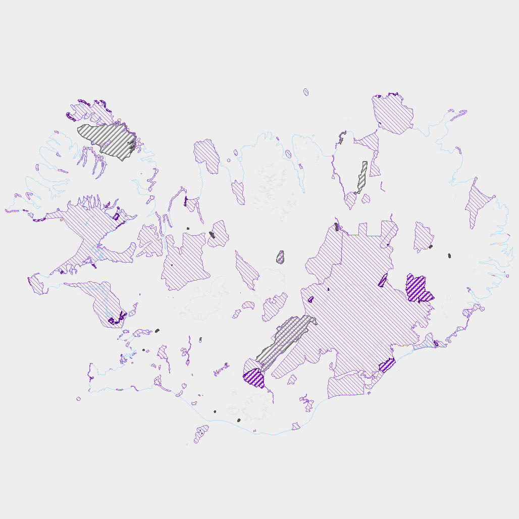
Þekja ni_tillogur_a_Bhluta_allt_fl: Tillögur að svæðum á framkvæmdaáætlun (B-hluta) náttúruminjaskrár út frá verndun vistgerða, fugla, sela, jarðminja og fossa. Innan stærri verndarsvæða voru í sumum tilfellum afmörkuð smærri svæði sem draga fram forgangsvistgerðir eða fuglategundir sem eru ekki einkennandi fyrir heildarsvæðið. Mörk eru ekki alltaf nákvæmlega skilgreind. Náttúruminjaskrá skiptist í þrjá hluta sem auðkenndir eru sem A, B og C-hluti. B-hluti er framkvæmdaáætlun náttúruminjaskrár þ.e. skrá yfir þær náttúruminjar sem Alþingi hefur ákveðið að setja í forgang um friðlýsingu eða friðun á næstu fimm árum. Í lögunum er lögð áhersla á að byggja upp skipulegt net verndarsvæða til að stuðla að vernd líffræðilegrar fjölbreytni, jarðbreytileika og fjölbreytni landslags. Náttúrufræðistofnun Íslands gerir tillögur um minjar sem ástæða þykir til að setja á framkvæmdaáætlun, þ.e. B-hluta. Að loknu því vali felur ráðherra Umhverfisstofnun að meta nauðsynlegar verndarráðstafanir á svæðum sem til greina kemur að setja á framkvæmdaáætlun og kostnað við þær. Í því ferli koma fram ýmsir aðrir hagsmunir sem geta haft áhrif á endanlegt val svæða en eru sem slíkir ekki grunnþættir í vali á svæðum til að viðhalda ákjósanlegri verndarstöðu vistgerða, vistkerfa eða tegunda. Að lokum mun Umhverfis-, orku- og loftslagsráðuneytið í samráði við ráðgjafanefnd leggja fram þingsályktunartillögu um verndun svæða. Tillögurnar eru enn í úrvinnslu hjá Umhverfisstofnun og umhverfis-, orku- og loftslagsráðherra (staða 23. febrúar 2022). Afmörkun svæða í tillögum Náttúrufræðistofnunar er ekki alltaf nákvæmlega skilgreind og getur tekið breytingum við áframhaldandi undirbúning framkvæmdaáætlunar.
-
Ýmsar tölulegar upplýsingar úr manntali Hagstofunnar frá 2011, settar fram á smásvæðaskiptingu Hagstofunnar. Vinsamlega hafið samband við Hagstofuna vegna nánari upplýsinga.
-
Vinsamlega hafið samband við Hafrannsóknastofnun vegna nánanri upplýsinga.
-
Þekja [layer] j100v_vesturgosbelti_berggrunnurNidurfoll_1utg_fl: Niðurföll í nútímahraunum. [Collapse pits in Holocene lavas.}
-

Riparian zones represent transitional areas occurring between land and freshwater ecosystems, characterised by distinctive hydrology, soil and biotic conditions and strongly influenced by the stream water. They provide a wide range of riparian functions (e.g. chemical filtration, flood control, bank stabilization, aquatic life and riparian wildlife support, etc.) and ecosystem services. The Riparian Zones products will support the objectives of several European legal acts and policy initiatives, such as the EU Biodiversity Strategy to 2020, the Habitats and Birds Directives and the Water Framework Directive. Land Cover/Land Use (LC/LU) classification is tailored to the needs of biodiversity monitoring in a tailored buffer zone along large and medium-sized European rivers (with Strahler levels 3-8 derived from EU-Hydro). LC/LU is extracted from VHR satellite data and other available data in a buffer zone of selected rivers. The classes follow the pre-defined nomenclature on the basis of MAES typology of ecosystems (Level 1 to Level 4) and Corine Land Cover, providing 80 distinct thematic classes with a Minimum Mapping Unit (MMU) of 0.5 ha and a Minimum Mapping Width (MMW) of 10 m. The production of the Riparian Zones products was coordinated by the European Environment Agency in the frame of the EU Copernicus programme.
-

Gögnin sýna svæði þar sem refaveiði er óheimil allt árið um kring.
-

HRL, 6 háupplausnargagnalög: yfirborðsgegndræpi, skógar (trjákrónuþéttleiki), skógar (barrtré/lauftré), graslendi, votlendi, vötn. Rastagögn, 20 m myndpunktsstærð, upprunaleg og endurbætt gagnalög og skýrslur, ISN2004. Hægt er að sækja gögnin á niðurhalssíðu Náttúrufræðistofnunar. Nánari upplýsingar um hvert lag fylgja gögnunum. HRL, 6 High Resolution Layers: imperviousness, tree cover density, forest type, grasslands, wetlands, permanent water bodies. Raster data, 20 m pixel size, intermediate and enhanced results, data and verification/enhancement reports, ISN2004. The datasets can be downloaded from the Institute of Nature Research Download Site where more details information about each layer are included.