 Lýsigagnagátt
dataset
Type of resources
Available actions
Topics
INSPIRE themes
Keywords
Contact for the resource
Provided by
Years
Formats
Representation types
Update frequencies
status
Scale
Resolution
-
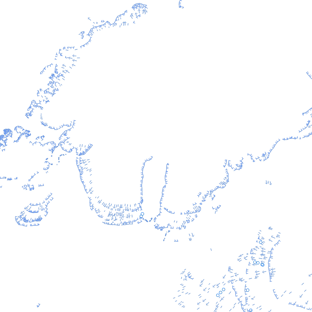
Þekja [layer] j100v_vesturgosbelti_jardgrunnur_1utg_li: Jarðgrunnsgögn af Vesturgosbelti Íslands, línulag. [Surface deposits of the Western Volcanic Zone of Iceland, line data.] Kortlagðar eru setmyndanir á yfirborði, s.s. jökulgarðar og jökulset. Nýr kóði fyrir fitjueigindina 'Jarðmyndun og landmótun lausra jarðefna' (jardmLandmJardefna): jm08 = ummerki jökuljaðars. [Mapped surface deposits of moraines and glacial sediments. New code for feature attribute 'Jarðmyndun og landmótun lausra jarðefna' (jardmLandmJardefna): jm08 = traces of ice margin.]
-
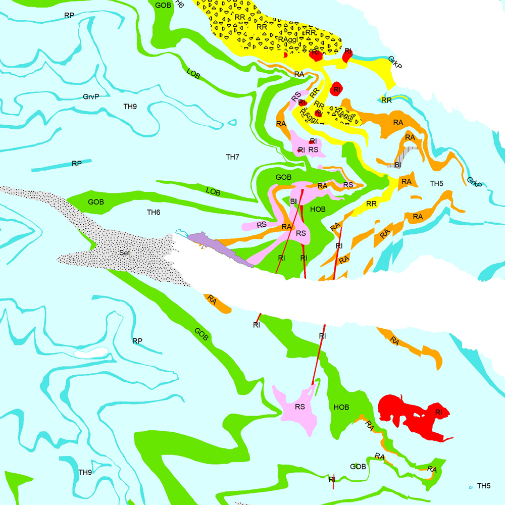
Þekja (layer) j100v_austurland_berggrunnur_1utg_fl: Gögn sem sýnir bergrunn Austurlands. [Data showing the bedrock geology of Eastern Iceland.] Flákalag með bergrunn Austurlands. Flákarnir sýna mismunandi gerðir storkubergs ásamt sethulu. Gögn eru flokkuð eftir ÍST120:2012 staðlinum, nema þrjá fitjueigindir: myndunKodi = Heiti myndunarinnar (skammstöfun) myndunIS = Heiti myndunarinnar (á íslenskuc) myndunEN = Heiti myndunarinnart (á ensku) Nýr kóði fyrir fitjueigindi 'Tegund storkubergs' (tegStorkubergs): shra = samsett hraun, dbas = Dílabasalt, dobas = Díla- og olívínbasalt, and = Andesít. [Polygone layer of the bedrock geology of Eastern Iceland. The polygones show different classes of intrusive and extrusive rocks and the sediment cover. The data follows the ÍST120:2012 data standard with the three additional feature attributes: myndunKodi = Lithostratigraphic unit (abbreviation) myndunIS = Lithostratigraphic unit (in Icelandic) myndunEN = Lithostratigraphic unit (in English) New codes for feature attribute 'Tegund storkubergs' (tegStorkubergs) are: shra = composit lava, dbas = porphyritic lava, dobas = porphyritic and olivine basalt, and = andesite.]
-

Gögnin sýna hvar leyfi hafa verið gefin út vegna framkvæmda við veiðivötn. Ekki er um að ræða opin gögn. Gögnin eru vistuð hjá Fiskistofu.
-

Þekja (layer) n25v_hraunNutima_fl: Eldhraun (hraun) sem myndast hafa eftir að jökull hvarf af landinu á síðjökultíma. (Postglacial lavas in Iceland.) Eldhraun sem myndast hafa eftir að jökull hvarf af landinu á síðjökultíma njóta sérstakrar verndar samkvæmt 61 gr. í lögum um náttúruvernd. Náttúrufræðistofnun Íslands heldur skrá yfir þessi náttúrufyrirbæri og birtir í kortasjá sem jafnframt er viðauki við náttúruminjaskrá. Hraun frá nútíma eru flokkuð í forsöguleg og söguleg hraun og í gögnunum eru upplýsingar um aldur, eldstöðvakerfi og heiti hrauna. Heimildaskrá fylgir (n25v_gigarOgHraunNutima_heimildir).
-
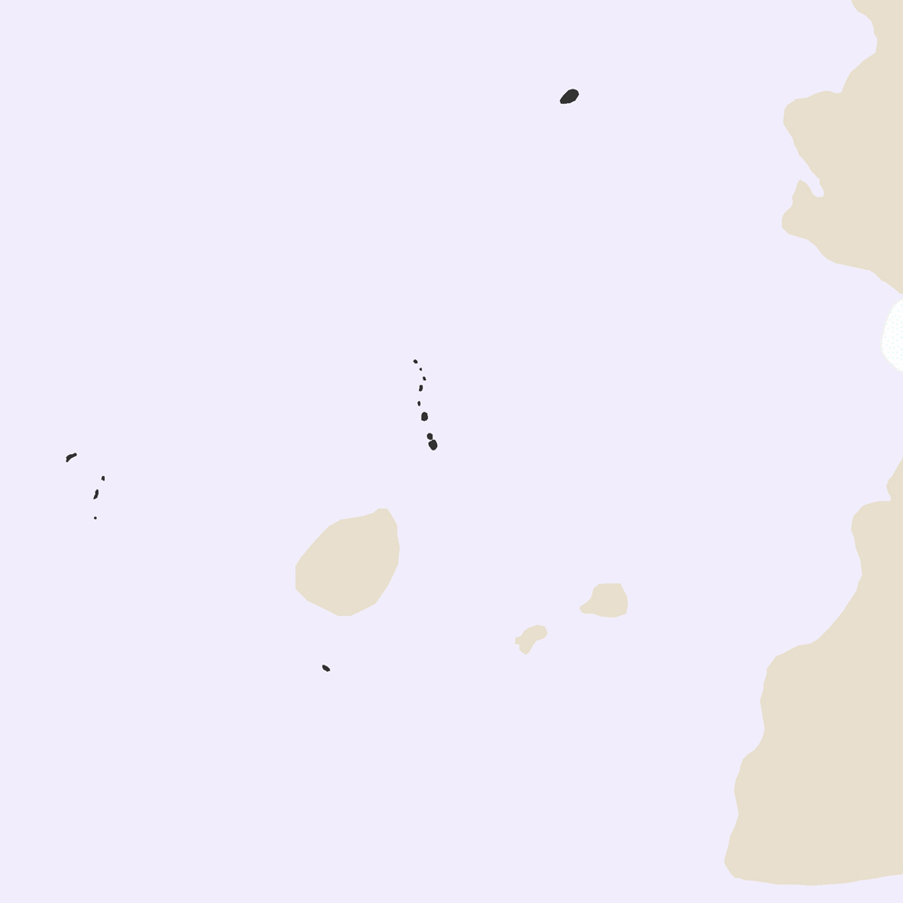
Þekja [layer] j100v_vesturgosbelti_berggrunnurNidurfoll_1utg_fl: Niðurföll í nútímahraunum. [Collapse pits in Holocene lavas.}
-

Vinsamlega hafið samband við Fiskistofu vegna nánari upplýsinga.
-
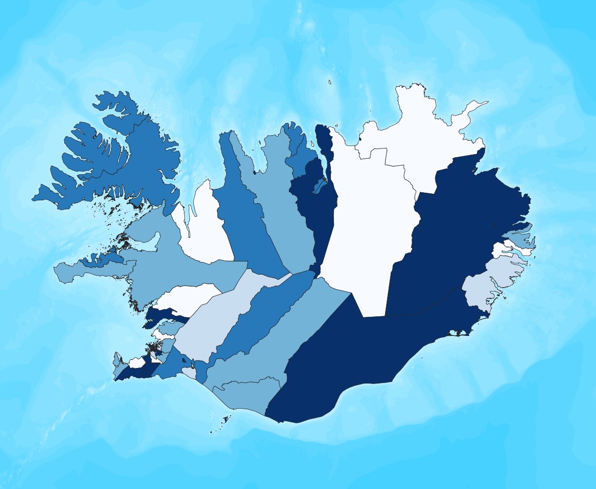
Ýmsar tölulegar upplýsingar úr manntali Hagstofunnar frá 2011, settar fram á smásvæðaskiptingu Hagstofunnar. Vinsamlega hafið samband við Hagstofuna vegna nánari upplýsinga.
-

Gögnin sýna upplýsingar um alla jarðskjálfta á Íslandi. Nánari upplýsingar á https://skjalftalisa.vedur.is
-

Umsóknin um Þingvelli á heimsminjaskrá var lögð fram í febrúar 2003 og var hún samþykkt á fundi heimsminjanefndar UNESCO í júlí 2004. Þingvellir eru þjóðgarður sem var með lögum stofnaður árið 1930.
-

Landinu skal skipt upp í eftirfarandi heilbrigðisumdæmi, sbr. reglugerð 387/2015: Heilbrigðisumdæmi höfuðborgarsvæðisins. Heilbrigðisumdæmi Vesturlands. Heilbrigðisumdæmi Vestfjarða. Heilbrigðisumdæmi Norðurlands. Heilbrigðisumdæmi Austurlands. Heilbrigðisumdæmi Suðurlands. Heilbrigðisumdæmi Suðurnesja. Í heilbrigðisumdæmum landsins starfa eftirfarandi heilbrigðisstofnanir: Heilsugæsla höfuðborgarsvæðisins, innan heilbrigðisumdæmis höfuðborgarsvæðisins. Heilbrigðisstofnun Vesturlands, innan heilbrigðisumdæmis Vesturlands. Heilbrigðisstofnun Vestfjarða, innan heilbrigðisumdæmis Vestfjarða. Heilbrigðisstofnun Norðurlands, innan heilbrigðisumdæmis Norðurlands. Heilbrigðisstofnun Austurlands, innan heilbrigðisumdæmis Austurlands. Heilbrigðisstofnun Suðurlands, innan heilbrigðisumdæmis Suðurlands. Heilbrigðisstofnun Suðurnesja, innan heilbrigðisumdæmis Suðurnesja.