 Lýsigagnagátt
asNeeded
Type of resources
Available actions
Topics
INSPIRE themes
Keywords
Contact for the resource
Provided by
Years
Formats
Representation types
Update frequencies
status
Scale
-

Í gögnunum er að finna upplýsingar um staðsetningu og umfang verndarsvæða í byggð sem ráðherra hefur staðfest í samræmi við lög nr. 87/2015 um verndarsvæði í byggð. Markmið laganna er að stuðla að varpveislu og vernd byggðar sem hefur sögulegt gildi.
-
Ýmsar tölulegar upplýsingar úr manntali Hagstofunnar frá 2011, settar fram á smásvæðaskiptingu Hagstofunnar. Vinsamlega hafið samband við Hagstofuna vegna nánari upplýsinga.
-
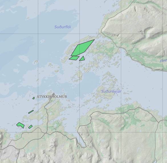
Ræktunarsvæði er afmarkað svæði sjávar nægjanlega stórt til að rúma þann ræktunarbúnað sem notaður er á viðkomandi svæði. Yfirleitt er um að ræða línur sem strekktar eru á milli flot bauja eða sérstaka ræktunarfleka með lóðréttar ræktunarlínur fáeina metra niður undir yfirborð sjávar . Svæðið er merkt með löglegum sjómerkjum þannig að sjófarendur eiga að geta varast þau, enda einnig merkt inn sjókort Landhelgisgæslunnar. Einungis er ræktuð Bláskel (Kræklingur).
-

Upplýsingar um sprungur sem finnast á Reykjanesskaga. Fyrir frekari upplýsingar er hægt að hafa samband við Veðurstofu Íslands
-

[IS] Gagnasettið sýnir staðsetningar botndýra sem hafa rannsökuð við íslandsstrendur. Innan íslenskrar efnahagslögsögu eru þekktar rúmlega 2.500 tegundir sjávardýra, en vísast eru þær umtalsvert fleiri. Tegundafjölbreytni hinna ýmsu dýrafylkinga á Íslandsmiðum er afar misvel þekkt en fastlega má gera ráð fyrir að hlutföllin séu svipuð og á heimsvísu. Upplýsingar um ýmsar tegundir sjávardýra á Íslandsmiðum eru á vefsíðum um dýrahópa, sjá: https://www.natt.is/is/leit-i-biota?kingdom_group.keyword=%2522D%25C3%25BDr%20%2528Animalia%2529%2522 [EN] The dataset shows the locations of benthic invertebrates that have been studied along the coasts of Iceland. Over 2,500 marine animal species have been found in Iceland’s exclusive economic zone, but there are certainly many more. Species diversity within some animal phyla in Icelandic waters is still poorly understood. Presumably, however, species fall under different phyla in similar proportions as elsewhere in the world. Information on marine animal species in Icelandic waters can be found on animal fact sheets on the NSII website.see: https://www.natt.is/is/leit-i-biota?kingdom_group.keyword=%2522D%25C3%25BDr%20%2528Animalia%2529%2522
-
Þekja [layer] j100v_vesturgosbelti_jardgrunnur_1utg_fl: Jarðgrunnsgögn af Vesturgosbelti Íslands. [Surface deposits of the Western Volcanic Zone of Iceland.] Laus setlög, svo sem jökulgarðar og árset. [Unconsolidated sediments including glacial morianes and river sediments.]
-

[IS]: Drónamyndir af svæðum þar sem fram fer vöktun á náttúru Íslands. Aflað af Náttúrufræðistofnun. Fyrir frekari upplýsingar um gögnin er hægt að hafa samband við Náttúrufræðistofnun. Upplýsingar um drónamyndirnar er að finna í footprint lagi. Þar má meðal annars sjá hvenær myndirnar eru teknar og hægt að finna niðurhalslink fyrir þær. WMS þjónusta: https://gis.lmi.is/mapcache/web-mercator/wms Nafn á gagnasettum: drones_orthographics, drones_orthographics_2020. drones_orthographics_2021, drones_orthographics_2022, drones_orthographics_2023, drones_orthographics_2024, drones_orthographics_2025 [EN] Drone imagery of areas where monitoring of Iceland’s natural environment is conducted. Collected by Natural Science Institute of Iceland. For more information, please contact Natural Science Institute of Iceland. Information about the drone imagery can be found in a footprint layer. It includes the capture dates of the images and provides download links among other things. WMS service: https://gis.lmi.is/mapcache/web-mercator/wms Nafn á gagnasettum: drones_orthographics, drones_orthographics_2020, drones_orthographics_2021, drones_orthographics_2022, drones_orthographics_2023, drones_orthographics_2024, drones_orthographics_2025
-
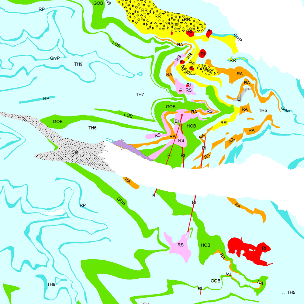
Þekja (layer) j100v_austurland_berggrunnur_1utg_fl: Gögn sem sýnir bergrunn Austurlands. [Data showing the bedrock geology of Eastern Iceland.] Flákalag með bergrunn Austurlands. Flákarnir sýna mismunandi gerðir storkubergs ásamt sethulu. Gögn eru flokkuð eftir ÍST120:2012 staðlinum, nema þrjá fitjueigindir: myndunKodi = Heiti myndunarinnar (skammstöfun) myndunIS = Heiti myndunarinnar (á íslenskuc) myndunEN = Heiti myndunarinnart (á ensku) Nýr kóði fyrir fitjueigindi 'Tegund storkubergs' (tegStorkubergs): shra = samsett hraun, dbas = Dílabasalt, dobas = Díla- og olívínbasalt, and = Andesít. [Polygone layer of the bedrock geology of Eastern Iceland. The polygones show different classes of intrusive and extrusive rocks and the sediment cover. The data follows the ÍST120:2012 data standard with the three additional feature attributes: myndunKodi = Lithostratigraphic unit (abbreviation) myndunIS = Lithostratigraphic unit (in Icelandic) myndunEN = Lithostratigraphic unit (in English) New codes for feature attribute 'Tegund storkubergs' (tegStorkubergs) are: shra = composit lava, dbas = porphyritic lava, dobas = porphyritic and olivine basalt, and = andesite.]
-
Vinsamlega hafið samband við Hagstofuna vegna nánari upplýsinga.
-
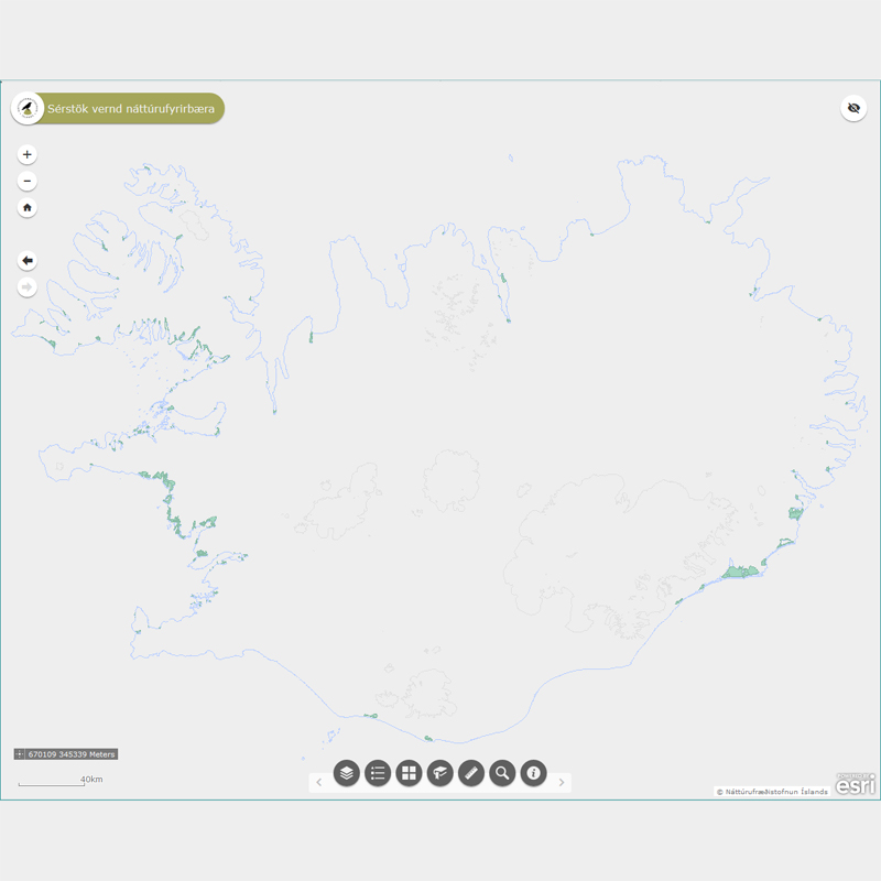
Þekja (layer) n25v_leirur_fl: Leirur á Íslandi. (Mudflats.) Leirur njóta sérstakrar verndar samkvæmt 61 gr. í lögum um náttúruvernd. Náttúrufræðistofnun Íslands heldur skrá yfir þessi náttúrufyrirbæri og birtir í kortasjá sem jafnframt er viðauki við náttúruminjaskrá.