 Lýsigagnagátt
ESRI Shapefile
Type of resources
Available actions
Topics
INSPIRE themes
Keywords
Contact for the resource
Provided by
Years
Formats
Representation types
Update frequencies
status
Scale
Resolution
-
Vinsamlega hafið samband við Umhverfisstofnun vegna nánari upplýsinga.
-

Gögnin sýna hvar leyfi hafa verið gefin út vegna framkvæmda við veiðivötn. Ekki er um að ræða opin gögn. Gögnin eru vistuð hjá Fiskistofu.
-
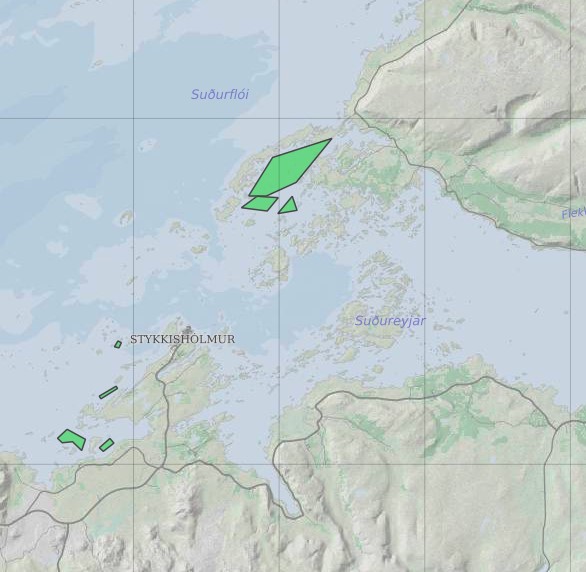
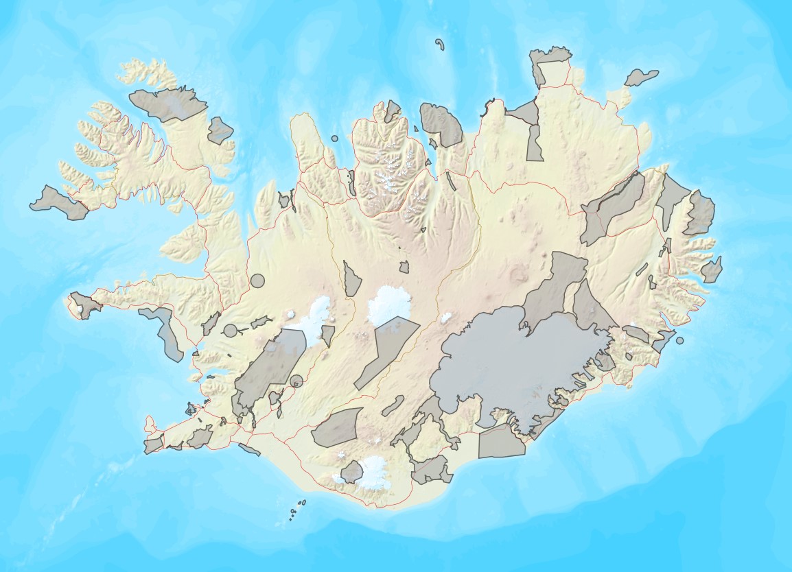
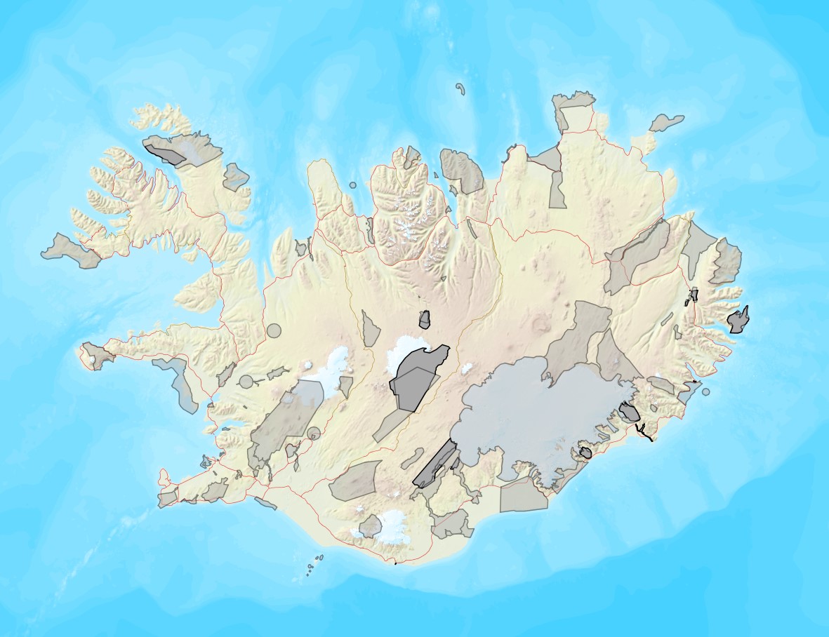
Ræktunarsvæði er afmarkað svæði sjávar nægjanlega stórt til að rúma þann ræktunarbúnað sem notaður er á viðkomandi svæði. Yfirleitt er um að ræða línur sem strekktar eru á milli flot bauja eða sérstaka ræktunarfleka með lóðréttar ræktunarlínur fáeina metra niður undir yfirborð sjávar . Svæðið er merkt með löglegum sjómerkjum þannig að sjófarendur eiga að geta varast þau, enda einnig merkt inn sjókort Landhelgisgæslunnar. Einungis er ræktuð Bláskel (Kræklingur).
-
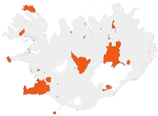
Gögnin sýna svæði þar sem rjúpnaveiði er óheimil allt árið um kring.
-
Vinsamlega hafið samband við Umhverfisstofnun vegna nánari upplýsinga.
-

Vinsamlega hafið samband við Umhverfisstofnun vegna nánari upplýsinga.
-

Riparian zones represent transitional areas occurring between land and freshwater ecosystems, characterised by distinctive hydrology, soil and biotic conditions and strongly influenced by the stream water. They provide a wide range of riparian functions (e.g. chemical filtration, flood control, bank stabilization, aquatic life and riparian wildlife support, etc.) and ecosystem services. The Riparian Zones products will support the objectives of several European legal acts and policy initiatives, such as the EU Biodiversity Strategy to 2020, the Habitats and Birds Directives and the Water Framework Directive. Land Cover/Land Use (LC/LU) classification is tailored to the needs of biodiversity monitoring in a tailored buffer zone along large and medium-sized European rivers (with Strahler levels 3-8 derived from EU-Hydro). LC/LU is extracted from VHR satellite data and other available data in a buffer zone of selected rivers. The classes follow the pre-defined nomenclature on the basis of MAES typology of ecosystems (Level 1 to Level 4) and Corine Land Cover, providing 80 distinct thematic classes with a Minimum Mapping Unit (MMU) of 0.5 ha and a Minimum Mapping Width (MMW) of 10 m. The production of the Riparian Zones products was coordinated by the European Environment Agency in the frame of the EU Copernicus programme.
-

Riparian zones represent transitional areas occurring between land and freshwater ecosystems, characterised by distinctive hydrology, soil and biotic conditions and strongly influenced by the stream water. They provide a wide range of riparian functions (e.g. chemical filtration, flood control, bank stabilization, aquatic life and riparian wildlife support, etc.) and ecosystem services. The Riparian Zones products support the objectives of several European legal acts and policy initiatives, such as the EU Biodiversity Strategy to 2020, the Habitats and Birds Directives and the Water Framework Directive. Green Linear Elements (GLE) are ecologically significant, structural landscape elements which act as important dispersion vectors of biodiversity. GLEs comprise hedgerows and lines of trees and offer a wide range of ecosystem services: they are linked to both landscape richness and fragmentation of habitats, with a direct potential for restoration, and contribute also to hazard protection. Green linear elements form part of the Green Infrastructure and are specifically addressed in the EU Biodiversity Strategy 2020. The GLE product provides reliable and detailed geospatial information on the occurrence and spatial distribution of: Small linear vegetation features such as hedgerows, scrub and tree rows with a minimum length of 100m and a width of up to 10m; Isolated patches of trees and scrub with a size between 500 m² and 0.5 ha. Green linear elements including trees and hedgerows with 100m minimum length and 500 m² Minimum Mapping Unit (MMU)
-
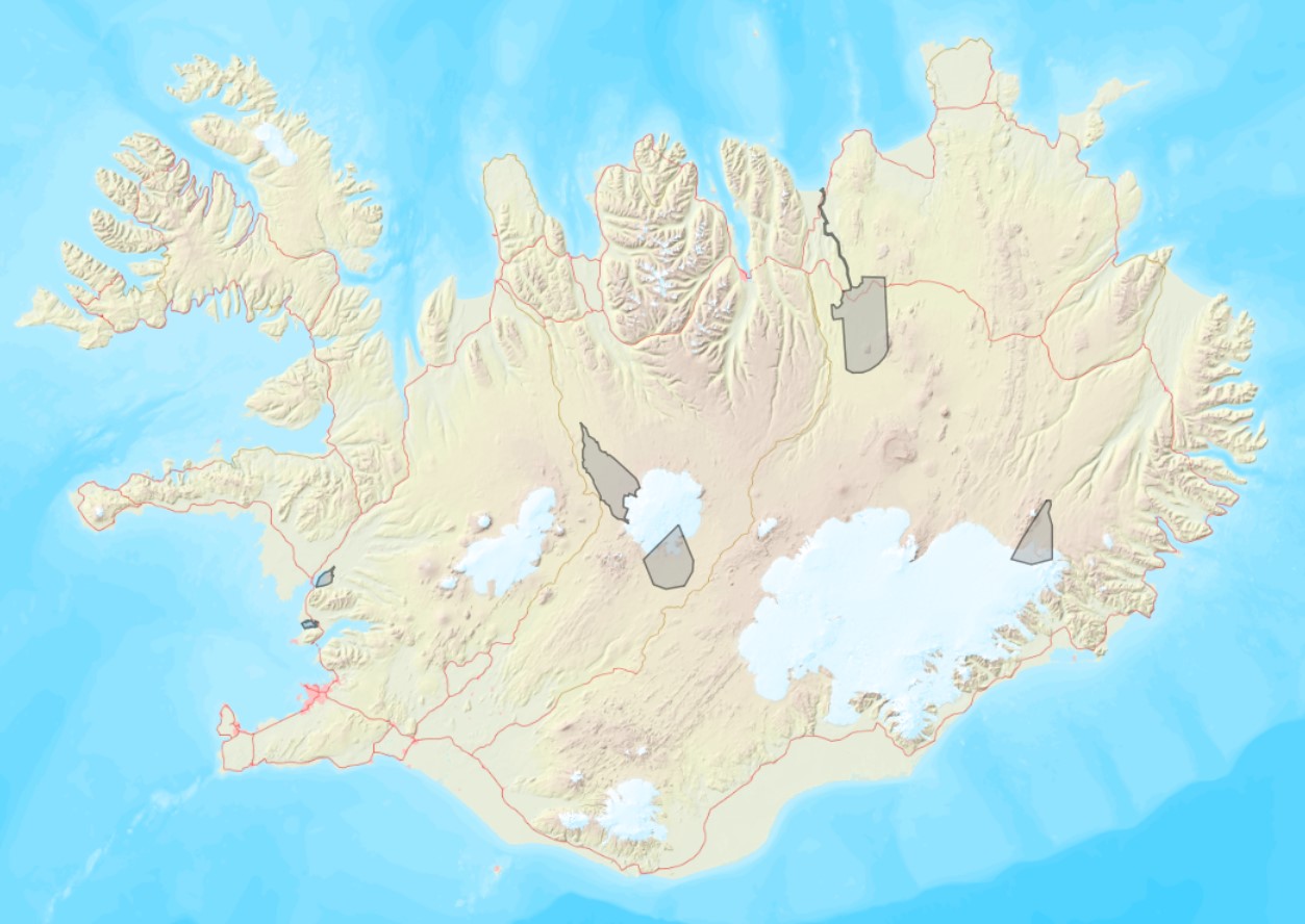
Ramsarsvæði eru votlendissvæði í heiminum sem njóta sérstakrar verndar.
-
Skyndilokanir Upplýsingar um skyndilokanir veiðisvæða koma úr gagnagrunnum Fiskistofu. Frá árinu 2020 hefur ákvörðunartaka um skyndilokanir veiðisvæða fyrir tilteknum veiðum verið í höndum Fiskistofu en var áður hjá Hafrannsóknarstofnun. Skyndilokun varir að jafnaði í 2 vikur. Tímamörk lokunar eru alltaf tilgreind með ákvörðun skyndilokunar. Ákvörðun um skyndilokun veiðisvæðis er gerð þegar mælingar á afla stenst ekki viðmiðunarmörk Hafrannsóknarstofnunar en einnig til að loka svæðum sem hafa staðbundinn kvóta. Reglugerðalokanir Reglugerðir eru ákvarðaðar af Atvinnuvega- og nýsköpunarráðuneytinu (ANR) og skilgreina bannsvæði og tímabil, þar sem fiskveiðar eru bannaðar með tilteknum veiðarfærum. Sumar reglugerðarlokanir eru árstíðarbundnar, til dæmis friðun vegna hrygninga þar sem svæðum sem fiskur kemur til hrygninga er lokað á ákveðnum tíma ársins.