 Lýsigagnagátt
50000
Type of resources
Available actions
Topics
INSPIRE themes
Keywords
Contact for the resource
Provided by
Years
Formats
Representation types
Update frequencies
status
Scale
-
EN: Lake and coastal waterbodies in Iceland. "Lake" means a body of standing inland surface water. "Coastal water" means surface water on the landward side of a line, every point of which is at a distance of one nautical mile on the seaward side from the nearest point of the baseline from which the breadth of territorial waters is measured, extending where appropriate up to the outer limit of transitional waters. For further description of dataset fields and field values see GML schema here: http://dd.eionet.europa.eu/schemas/WFD2016/GML_SurfaceWaterBody_2016.xsd IS:Stöðuvatns- og strandsjávarhlot á Íslandi. "Stöðuvatn" er kyrrstætt yfirborðsvatn. "Strandsjór" er yfirborðsvatn landmegin við línu sem dregin er einni sjómílu utan grunnlínu landhelginnar og nær inn að ytri mörkum árósavatns. Nánari lýsing á eigindum og gildum gagnasettsins má finna í GML skema hér: http://dd.eionet.europa.eu/schemas/WFD2016/GML_SurfaceWaterBody_2016.xsd
-
Í markalaginu eru ýmis mörk lands og eru þetta allt flákalög og þau sýna eftirfarandi: skiptingu landsins eftir sveitarfélögum, skiptingu landsins eftir umdæmi sýslumanna, lögregluumdæmi og skiptingu landsins í dómstóla í héraði.
-

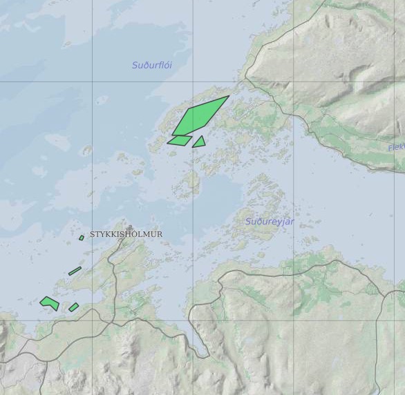
Eldissvæði er svæði sem úthlutað er rekstarleyfishafa. Rekstrarleyfishafi hefur þá heimild til að hafa eldisbúnað til að ala fisk innan þess svæðis skv. skilyrðum rekstrarleyfisins.
-

Boundaries of various areas within Vatnajökull National Park with special rules. 1. Esjufjöll, Jökulsárgljúfur, Skaftafell and Askja have special rules about camping restrictions, according to article 3, in regulation about Vatnajökull National Park, 300/2020. Coordinates are listed in table 2 in amendment IV in the regulation. 2. Hvannadalshnjúkur, Öræfajökull and Kverkfjöll have special limitations on, if and when motorized traffic is allowed. 3. Traditional land use areas are listed in article 26 of regulation about Vatnajökull National Park, 300/2020. Disclaimer: If there is a difference between the data and the regulation text, then the regulation text applies.
-
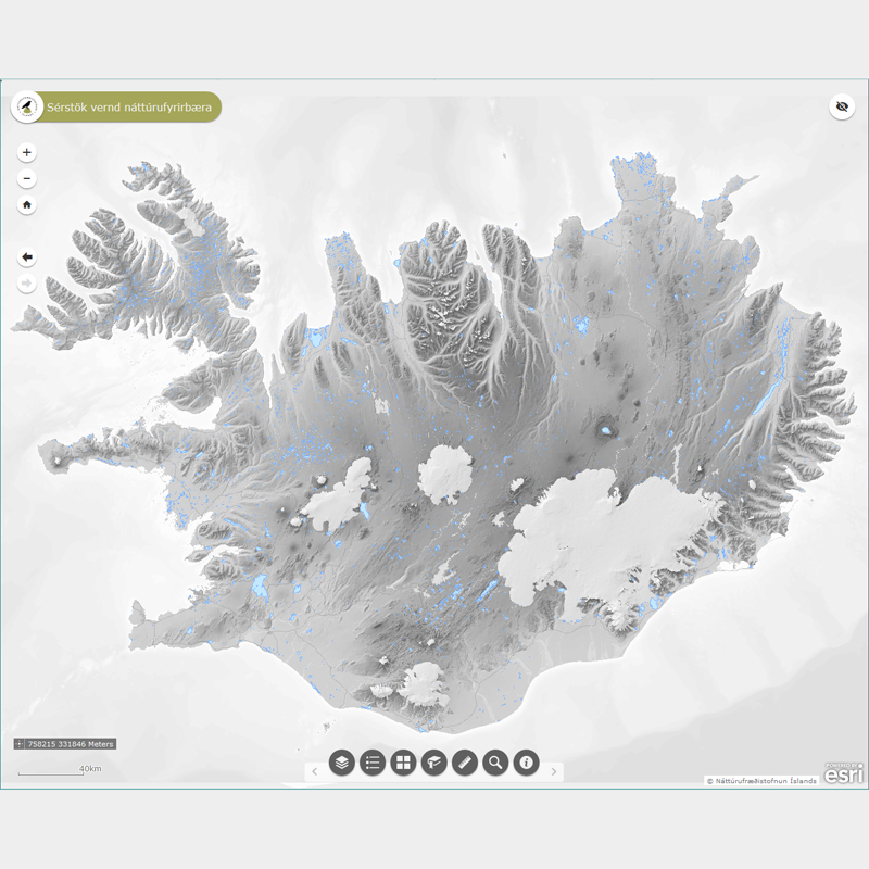
Þekja (layer) n50v_votn_fl: Náttúruleg stöðuvötn og tjarnir, 1000 fermetrar eða stærri. (Natural lakes and ponds, 1000 squaremeters and larger.) Náttúruleg stöðuvötn og tjarnir, 1000 fermetrar að flatarmáli eða stærri, njóta sérstakrar verndar samkvæmt 61 gr. í lögum um náttúruvernd. Náttúrufræðistofnun Íslands heldur skrá yfir þessi náttúrufyrirbæri og birtir í kortasjá sem jafnframt er viðauki við náttúruminjaskrá.
-
EN: Boundary of Icelandic River Basin Sub unit(s) as reported to WISE on 22.12.2018. A "Sub unit" is a defined area that includes one or more catchments. For international reporting purposes only one Sub unit is used (ID: IS100) which covers the same area as the Icelandic River Basin District. For national management and reporting purposes there are four Sub Units (ID's: IS101, IS102, IS103, IS104). For further description of dataset fields and field values see GML schema here: http://dd.eionet.europa.eu/schemas/WFD2016/GML_SubUnit_2016.xsd IS: Afmörkun íslenskra vatnasvæða miðað við skil inn í WISE upplýsingakerfið þann 22.12.2018. "Vatnasvæði" er landsvæði með einu eða fleiri vatnasviðum. Vegna skýrslugjafar til Evrópusambandsins er aðeins eitt vatnasvæði notað (ID:IS100) sem nær yfir sama svæði og Vatnaumdæmi Íslands. Vegna innlendrar stjórnunar og skýrslugjafar eru fjögur vatnasvæði notuð (IDs: IS101, IS102, IS103, IS104). Nánari lýsing á eigindum og gildum gagnasettsins má finna í GML skema hér: http://dd.eionet.europa.eu/schemas/WFD2016/GML_SubUnit_2016.xsd
-

Vatnafarið skiptist í þrjú lög: línur, fláka og punkta.
-

Gögnin sýna mörk þéttbýlisstaða samkvæmt skilgreiningu Hagstofunnar.
-

Smásvæði Ísland er dreifbýlt land, en þéttbýlt á höfuðborgarsvæðinu. Hefðbundin skipting landsins í landsvæði og sveitarfélög býður ekki upp á samanburðarhæf svæði hvað varðar hagskýrslugerð. Hagstofan hefur því aukið við flokkunarkerfi fyrir hagskýrslusvæði með því að bæta við smásvæðum sem hafa að meðaltali 1.700 til 1.800 íbúa. Smásvæðin mynda fimmta stigið í flokkunarkerfi, með því að hluta talningarsvæðin frekar niður. Alls eru smásvæðin 206 með rúmlega 1.700 manns meðalíbúafjölda, og íbúafjöldanum haldið á bilinu 900 til 3.500 manns, en sem næst meðaltalinu. Þrepin í flokkunarkerfinu eru þessi. 1 - Ísland allt 2 - Tvö hagskýrslusvæði (NUTS3) – höfuðborgarsvæði og landsbyggð 3 - Fjórir landshlutar – tveir á höfuðborgarsvæðinu og tveir á landsbyggðinni 4 - Alls 42 talningarsvæði – 13 í Reykjavík, 11 í Nágrenni Reykjavíkur, 9 á Suðursvæði og 9 á Norðursvæði. 5 - Alls 206 smásvæði – hverju talningarsvæði skipt upp í 2 til 11 smásvæði. Með smásvæðaskiptingunni verður mögulegt að birta ítarlegar hagskýrslur fyrir smærri svæði en áður án þess að þurfa að sleppa úr svæðum eða eyða tölum vegna fámennis. Smásvæðin eru skilgreind vegna þarfa manntalsins 2021, en einnig hefur verið gerð sérstök útgáfa fyrir manntalið 2011, með 183 svæðum sem fylgja að mestu sömu mörkum. Smásvæðaflokkunin var unnin í samstarfi við Byggðastofnun, með fjárhagslegum stuðningi frá Evrópusambandinu. Þá naut Hagstofan aðstoðar Náttúrufræðistofnun ásamt afnotum af gögnum frá Landmælingum og Mílu ehf. -------------------------------------------------------------------------------------------------------------------------------------- Minor Statistical Output Areas (MSOA) Due to the sparsely populated country and huge differences in the population sizes of the administrative units, Statistics Iceland has added a new small area level to the hierarchical regional classification in preparation for the 2021 Census. The new level is labeled as Minor Statistical Output Areas (MSOA). There are in total 206 MSOA defined, with an average population in the range 1,700 to 1,800 persons and no area having less population than 900 persons, and no area exceeding 3,500. There are 5 steps in the Regional classification: 1 - Iceland 2 - Two NUTS3 Statistical regions 3 - Four Statistical Regions – 2 in the capital region and 2 in the rural areas 4 - Forty-two (42) Statistical Output Areas (SOA) – 42 areas, 13 in Reykjavik, 11 in the Reykjavik surrounding areas, 9 in the South Region, and 9 in the North region 5 - Two hundred and six (206) Minor Statistical Output Areas (MSOA) –each SOA partitioned further into 2 to 11 MSOA. With the help of the Minor Statistical Output Areas Statistics Iceland is able to publish detailed statistics for smaller areas than previously possible without skipping areas or deleting data due to disclosure concerns. While the MSOA are defined in preparation for the 2021 Census of the Population and Housing, a special version has been developed for classifying data in the 2011 Census, with 183 MSOA, which are but for 23 areas identical to the 2021 version. The MSOA were developed with financial aid from the European Commission, in cooperation with the Icelandic Regional Development Institution and the assistance of the Institute of Nature Research and Míla ehf.
-
Ræktunarsvæði er afmarkað svæði sjávar nægjanlega stórt til að rúma þann ræktunarbúnað sem notaður er á viðkomandi svæði. Yfirleitt er um að ræða línur sem strekktar eru á milli flot bauja eða sérstaka ræktunarfleka með lóðréttar ræktunarlínur fáeina metra niður undir yfirborð sjávar . Svæðið er merkt með löglegum sjómerkjum þannig að sjófarendur eiga að geta varast þau, enda einnig merkt inn sjókort Landhelgisgæslunnar. Einungis er ræktuð Bláskel (Kræklingur).