 Lýsigagnagátt
loftgæði
Type of resources
Available actions
Topics
INSPIRE themes
Keywords
Contact for the resource
Provided by
Formats
Representation types
Update frequencies
status
Scale
-

[IS] Gagnasettið er unnið í samstarfi við Landbúnaðarháskóla Íslands og sýnir þau svæði á Íslandi þar sem er mest rykmengun. Fyrir frekari upplýsingar um gagnasettið er best að hafa samband við Náttúrufræðistofnun. WMS þjónusta: https://gis.natt.is/geoserver/wms WFS þjónusta: https://gis.natt.is/geoserver/wfs Nafn á gagnasetti: copernicus:rykt_hotspots [EN] This dataset was produced in collaboration with the Agricultural University of Iceland and shows the areas in Iceland with the highest levels of dust pollution. For further information about the dataset, please contact the Natural Science Institute of Iceland. WMS service: https://gis.natt.is/geoserver/wms WFS service: https://gis.natt.is/geoserver/wfs Dataset name: copernicus:rykt_hotspots
-
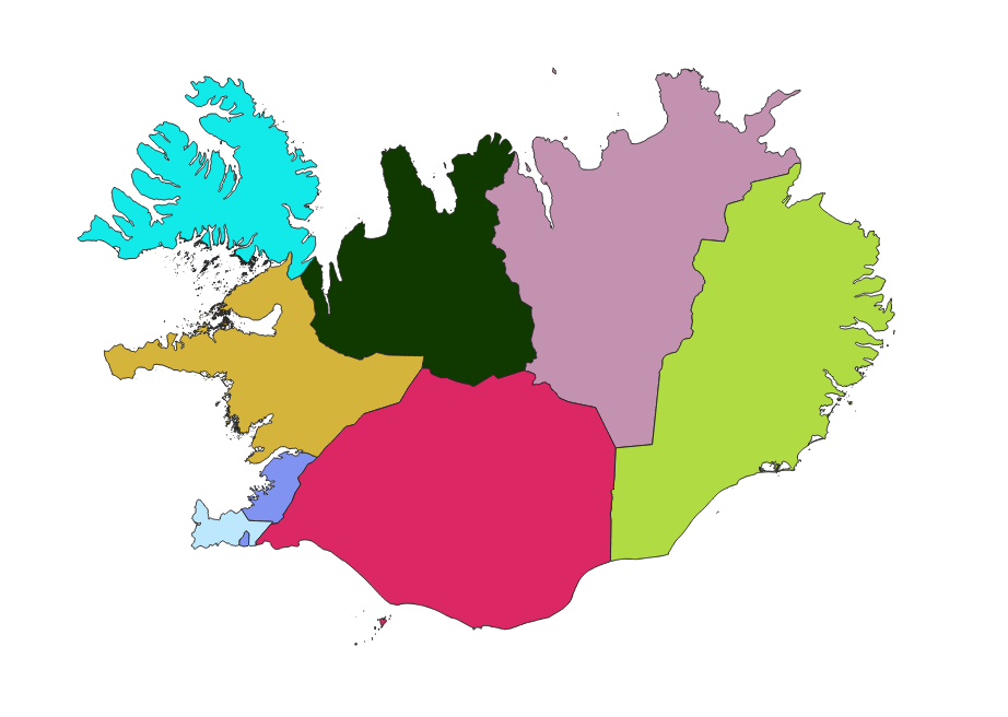
Íslandi er skipt upp í loftgæðasvæði og bera heilbrigðiseftirlit viðkomandi svæða ábyrgð á því að ekki sé farið yfir mörk þar, og áætlunum um hvernig bregðast á við ef farið er yfir mörk.