 Lýsigagnagátt
ÍslandsDEM
Type of resources
Available actions
Topics
Keywords
Contact for the resource
Provided by
Representation types
Update frequencies
status
Scale
-

IS: Í korstjánni er hægt að skoða hæðarlíkan af Íslandi og hlaða því niður. en: The Digital Elevation Model (DEM) Map from Náttúrufræðistofnun allows to view and download the DEM, find its derivative like slope and orientation and much more. ÍslandsDEM refers to "Digital Elevation Model (DEM) of Iceland" in English. A DEM is a digital representation of the Earth's surface topography, typically represented as a grid of elevation values. It provides information about the height or elevation of the terrain across a specific area, allowing for the creation of detailed three-dimensional representations of the landscape. DEM data is widely used in various applications, including geographic information systems (GIS), environmental modeling, land use planning, engineering design, and natural resource management. It can be used to analyze terrain characteristics, calculate slope and aspect, identify drainage patterns, model water flow, and assess landscape suitability for various purposes.
-
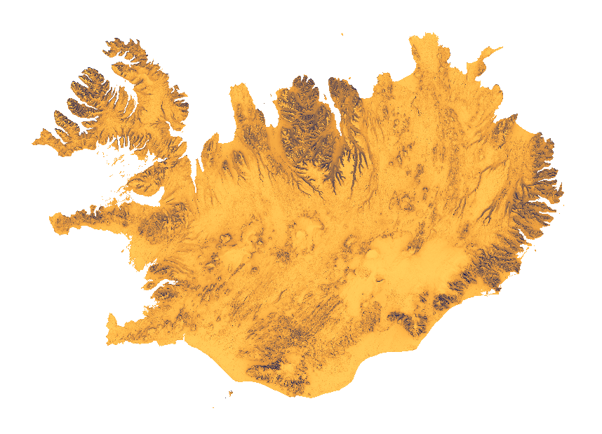
[IS] Um er að ræða rastergögn sem sýna árlegar mögulegar uppsafnaðar sólarstundir út frá landslagi á Íslandi yfir heilt ár og eru gögnin unnin úr IslandsDEM, 10 m hæðarlíkaninu í EPSG:8088. Rastergögnin byggja á hermun á landslagskuggum, þar sem útreikningar voru gerðir fyrir hvern klukkutíma á tímabilinu 1. janúar til 31. desember 2027 með tímabeltinu Atlantic/Reykjavik miðað við að dagsbirta sé til staðar þegar sólin er allt að 6 gráður undir sjóndeildarhring. Gildi pixla gefa til kynna fjölda hermdra tímapunkta þar sem viðkomandi staður var skilgreindur sem sólríkur; hærri gildi tákna því tíðara sólskin yfir árið. Skýjahula og aðrir þættir en landslag eru ekki teknir með í útreikningana. [EN] Annual theoretical maximum cumulative sunlight raster for Iceland based on terrain and topological features, generated from the IslandsDEM 10 m DEM in EPSG:8088. The raster summarizes hourly terrain-shadow simulations from 1 January to 31 December 2027, using the Atlantic/Reykjavik timezone and a civil twilight threshold of 6 degrees below the horizon. Pixel values indicate the number of simulated time steps in which each location was classified as sunlit; higher values represent more frequent sunlight occurrence during the year. Clouds and other factors beside terrain are not taken into account.