 Lýsigagnagátt
Uppgræðslusvæði í verkefninu "Bændur græða landið"
Gagnasett sem sýnir yfirlitsupplýsingar um helstu uppgræðslusvæði í verkefninu "Bændur græða landið".
Simple
- Date ( Publication )
- 2017-11-01
- Status
- On going
- Maintenance and update frequency
- As needed
- Keywords
-
- Uppgræðsla
- GSL
- Keywords ( Theme )
-
- landgræðsla
- Access constraints
- Other restrictions
- Use constraints
- otherRestictions
- Other constraints
- Stofnunin afhendir gögnin án gjalds. Geta þarf heimilda.
- Spatial representation type
- Vector
- Denominator
- 25000
Spatial resolution
No information provided.
Spatial resolution
No information provided.
- Metadata language
- is
- Character set
- UTF8
- Topic category
-
- Environment
N
S
E
W
))
- Reference system identifier
- 3057
- Distribution format
-
-
ESRI Shapefile
(
1.0
)
-
ESRI Shapefile
(
1.0
)
- OnLine resource
- Land og skógur, heimasíða ( WWW:LINK-1.0-http--link )
- OnLine resource
- Bændur græða Landið - Heimasíða Lands og skógar ( WWW:LINK-1.0-http--link )
- OnLine resource
- Landupplýsingagátt ( WWW:LINK-1.0-http--link )
- OnLine resource
- Kortasjá Lands og skógar ( WWW:LINK-1.0-http--link )
- Hierarchy level
- Dataset
- Statement
- Gagnasett sem sýnir yfirlitsupplýsingar um helstu uppgræðslusvæði í verkefninu "Bændur græða landið".
gmd:MD_Metadata
- File identifier
- 09241b01-659e-42df-ab16-823cba816fa0 XML
- Metadata language
- is
- Character set
- UTF8
- Date stamp
- 2026-04-20T14:10:46
- Metadata standard name
- ISO 19115:2003/19139
- Metadata standard version
- 1.0
Overviews
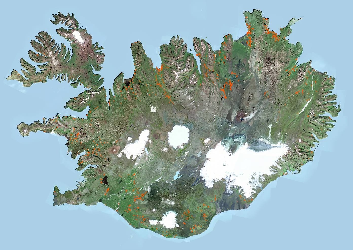
Uppgræðslusvæði BGL
Spatial extent
N
S
E
W
Provided by

Associated resources
Not available