ESRI Shapefile
Type of resources
Available actions
Topics
INSPIRE themes
Keywords
Contact for the resource
Provided by
Years
Formats
Representation types
Update frequencies
status
Scale
Resolution
-
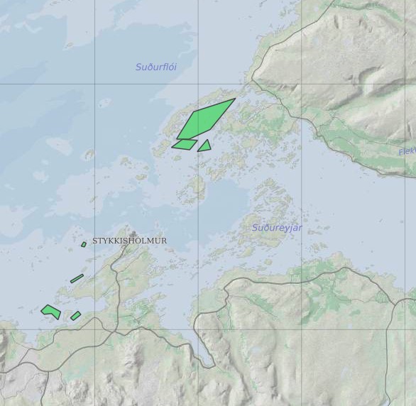
Ræktunarsvæði er afmarkað svæði sjávar nægjanlega stórt til að rúma þann ræktunarbúnað sem notaður er á viðkomandi svæði. Yfirleitt er um að ræða línur sem strekktar eru á milli flot bauja eða sérstaka ræktunarfleka með lóðréttar ræktunarlínur fáeina metra niður undir yfirborð sjávar . Svæðið er merkt með löglegum sjómerkjum þannig að sjófarendur eiga að geta varast þau, enda einnig merkt inn sjókort Landhelgisgæslunnar. Einungis er ræktuð Bláskel (Kræklingur).
-

Gögnin sýna hvar leyfi hafa verið gefin út vegna framkvæmda við veiðivötn. Ekki er um að ræða opin gögn. Gögnin eru vistuð hjá Fiskistofu.
-

Riparian zones represent transitional areas occurring between land and freshwater ecosystems, characterised by distinctive hydrology, soil and biotic conditions and strongly influenced by the stream water. They provide a wide range of riparian functions (e.g. chemical filtration, flood control, bank stabilization, aquatic life and riparian wildlife support, etc.) and ecosystem services. The Riparian Zones products will support the objectives of several European legal acts and policy initiatives, such as the EU Biodiversity Strategy to 2020, the Habitats and Birds Directives and the Water Framework Directive. Land Cover/Land Use (LC/LU) classification is tailored to the needs of biodiversity monitoring in a tailored buffer zone along large and medium-sized European rivers (with Strahler levels 3-8 derived from EU-Hydro). LC/LU is extracted from VHR satellite data and other available data in a buffer zone of selected rivers. The classes follow the pre-defined nomenclature on the basis of MAES typology of ecosystems (Level 1 to Level 4) and Corine Land Cover, providing 80 distinct thematic classes with a Minimum Mapping Unit (MMU) of 0.5 ha and a Minimum Mapping Width (MMW) of 10 m. The production of the Riparian Zones products was coordinated by the European Environment Agency in the frame of the EU Copernicus programme.
-
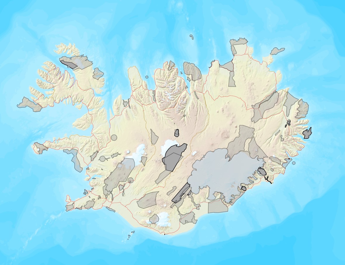
Vinsamlega hafið samband við Umhverfisstofnun vegna nánari upplýsinga.
-

Vinsamlega hafið samband við Umhverfisstofnun vegna nánari upplýsinga.
-

Þekjan sýnir orkuspársvæði sem koma fram í orkuspá Orkustofnunar. Það eru svæðin Suðurnes, Reykjavík, Vesturland, Vestfirðir, Norðurland, Austurland og Suðurland. Svæðin eru aðeins öðruvísi en í hefðbundinni landshlutaskiptingu þar sem sú skipting er til komin vegna uppbyggingar flutningskerfisins.
-
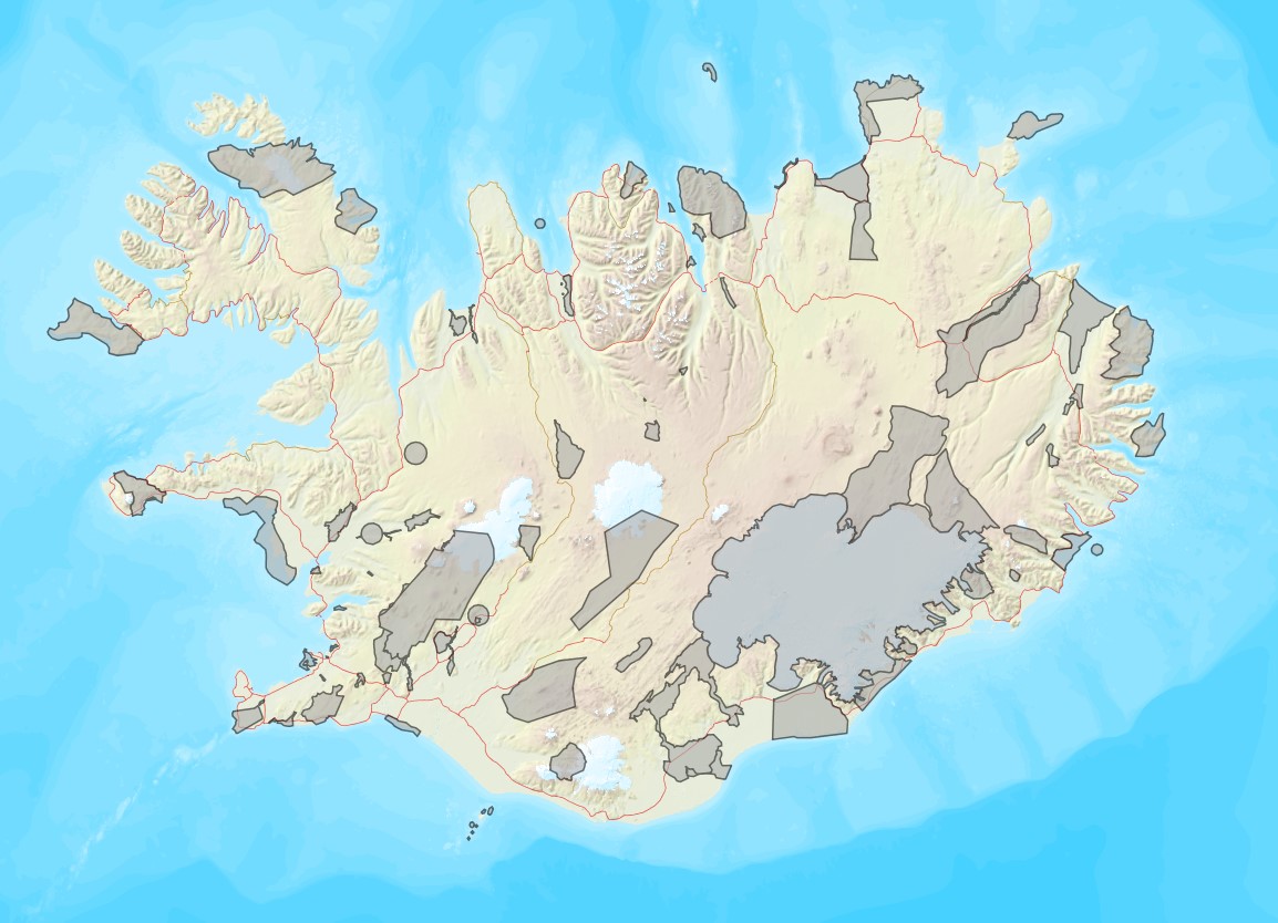
Vinsamlega hafið samband við Umhverfisstofnun vegna nánari upplýsinga.
-
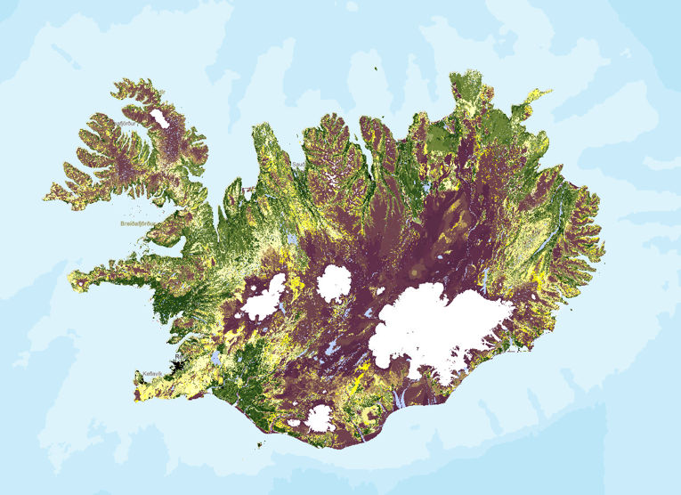
Stöðumat á ástandi gróður- og jarðvegsauðlinda Íslands. Landupplýsingaþekjan fyrir stöðumat Grólindar er á rastaformi. Nákvæmni gagna miðast við mælikvarða 1:100.000. Stöðumat GróLindar sýnir, á grófum kvarða, stöðu gróður- og jarðvegsauðlinda Íslands eins og hún er í dag. Stöðumatið er unnið upp úr kortlagningu vistgerðaflokka Náttúrufræðistofnunar Íslands frá 2016 og kortlagningu á jarðvegsrofi á vegum Rannsóknastofnunar landbúnaðarins og Landgræðslunni frá 1997. Landgræðslan og Skógræktin voru sameinaðar 1. janúar 2024 og ber stofnunin heitið Land og skógur. Frekari upplýsingar um aðferðafræðina á bak við stöðumatið má sjá í ritinu: Bryndís Marteinsdóttir, Elín Fjóla Þórarinsdóttir, Guðmundur Halldórsson, Jóhann Helgi Stefánsson, Jóhann Þórsson, Kristín Svavarsdóttir, Magnús Þór Einarsson, Sigþrúður Jónsdóttir og Sigmundur Helgi Brink, 2020. Stöðumat á ástandi gróður- og jarðvegsauðlinda Íslands. Aðferðafræði og faglegur bakgrunnur. Rit Landgræðslunnar nr. 3. Gunnarsholt, Ísland. https://grolind.is/wp-content/uploads/2020/06/GroLind_stodumat_18_06_2020.pdf
-
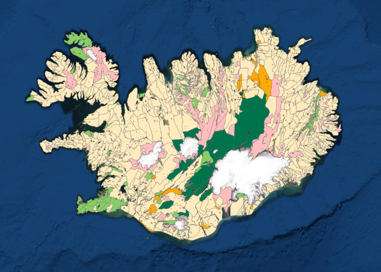
Kortlagning beitarlanda sauðfjár á Íslandi. Landupplýsingaþekjan fyrir beitarlönd sauðfjár er á vektorformi. Nákvæmni gagna miðast við mælikvarða 1:100.000. Frekari upplýsingar um aðferðafræðina á bak við kortlagningu beitarlanda sauðfjár má sjá í ritinu: : Jóhann Helgi Stefánsson, Sigríður Þorvaldsdóttir, Iðunn Hauksdóttir, Elín Fjóla Þórarinsdóttir, Bryndís Marteinsdóttir og Sigmundur Helgi Brink, 2020. Kortlagning beitarlanda sauðfjár á Íslandi. Rit Landgræðslunnar nr. 4. Gunnarsholt, Ísland. https://grolind.is/wp-content/uploads/2020/06/Kortlagning-beitilanda-2020.pdf Landgræðslan og Skógræktin voru sameinaðar 1. janúar 2024 og ber stofnunin heitið Land og skógur.
-
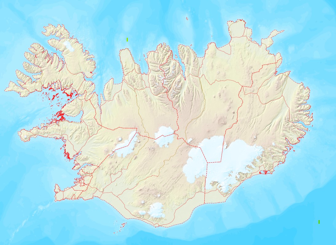
Gögnin innihalda skiptingu landsins í heilbrigðiseftirlit. Skv 45. grein laga 7/1998 hefur Umhverfisstofnun umsagnarvald varðandi mörk eftirlitssvæða.
 Lýsigagnagátt