 Lýsigagnagátt
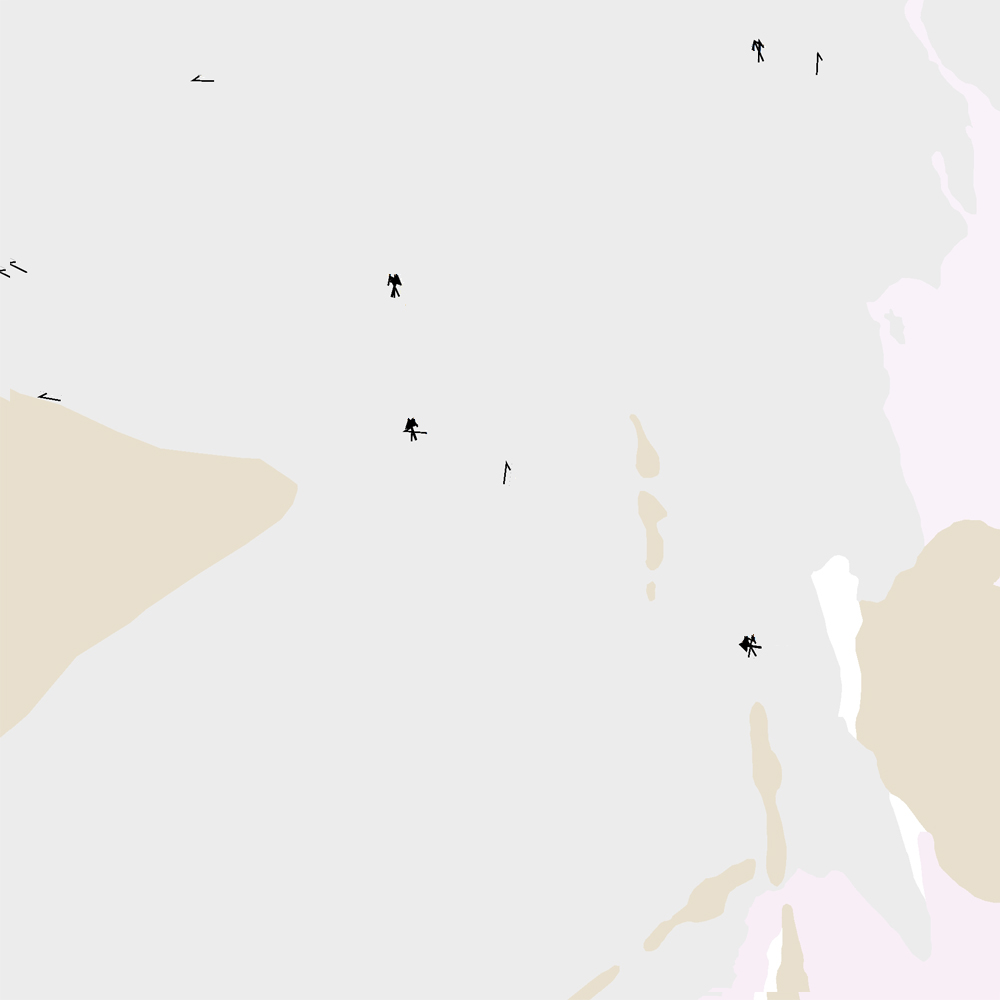
ni_j100v Jökulrák á Vesturgosbelti – 1:100.000
Þekja [layer] j100v_vesturgosbelti_jardgrunnur_1utg_p:
Jökulrákir á Vesturgosbelti Íslands. [Glacial striations of the Western Volcanic Zone of Iceland.]
Gögn eru flokkuð eftir ÍST120:2012 staðlinum, nema fitjueigindir:
jokulrakastefna: stefna jökulráka er mæld í kortlagningu og sýnir skriðstefnu jökuls.
aldur: ef fleiri en ein stefna er á rákunum er metinn afstæður aldur: yngri, aldur og aldur02.
[The data follows the ÍST120:2012 data standard with these additional feature attributes:
jokulrakastefna: indicates the direction of striations found during mapping.
aldur: if more than one set of striations is found this indicates the relative age: yngri (younger), aldur (older), and aldur02 (oldest, if 3 sets are present).]
Simple
- Date ( Publication )
- 2021-12-01
- Edition
- 1. útgáfa
- Status
- On going
- Maintenance and update frequency
- As needed
- Keywords ( Theme )
-
- Keywords ( Place )
-
- National
- GEMET - INSPIRE themes, version 1.0 ( Theme )
-
- Geology
- Access constraints
- Copyright
- Use constraints
- Copyright
- Other constraints
-
https://www.natt.is/is/midlun/opin-gogn
Gögnin eru öllum opin – no limitations on public access
- Spatial representation type
- Vector
- Denominator
- 100000
- Metadata language
- en
- Character set
- UTF8
- Topic category
-
- Geoscientific information
- Begin date
- 2019-05-01
- End date
- 2021-06-01
))
- Reference system identifier
- EPSG / 3057 / 7.6.1(9.0.0)
- Distribution format
-
-
ESRI ArcGIS File Geodatabase
(
1.010.8.1.14362
)
-
ESRI Shapefile
(
1.010.8.1.14362
)
-
ESRI ArcGIS File Geodatabase
(
1.010.8.1.14362
)
- OnLine resource
- Niðurhal gagna ( WWW:LINK-1.0-http--link )
- OnLine resource
- Skilmálar (PDF) – Licence (PDF) ( WWW:LINK-1.0-http--link )
- OnLine resource
- NÁTT kortasjá 'Jarðfræði Íslands' ( WWW:LINK-1.0-http--link )
- OnLine resource
- Vefur Náttúrufræðistofnunar ( WWW:LINK-1.0-http--link )
- OnLine resource
- Íslenskt fitjuskrá '600 Jarðmyndun og landmótun' sem tengjast staðlinum ÍST 120 (PDF) ( WWW:LINK-1.0-http--link )
- OnLine resource
-
ni:ni_j100v_vesturgosbelti_jardgrunnur_1utg_p
(
OGC:WMS
)
Jarðfræði Vesturgosbelti jarðgrunnur punktur
- Hierarchy level
- Feature
- Statement
-
Gögn fengin við kortlagningu ásamt viðbótarheimildum frá Kjartansson (1965), Johannesson (1994) og Á. Guðmundsson (óbirt gögn). Gögnin hafa verið yfirfarin og endurskoðuð.
Heimildir [Sources]:
- Ágúst Guðmundsson, unpublished data and personal communications.
- Jóhannesson, H. 1994. Geological map of Iceland, sheet 2, West-Iceland, second edition. Icelandic Museum of Natural History and Iceland Geodetic Survey, Reykjavik.
- Kjartansson, G. 1965. Geological map of Iceland, sheet 5, Central Iceland. Icelandic Museum of Natural History and Iceland Geodetic Survey, Reykjavik.
gmd:MD_Metadata
- File identifier
- f0e04de4-8afe-4809-84d9-79b92f2e0b66 XML
- Metadata language
- en
- Character set
- UTF8
- Parent identifier
- NI_J100v Jarðfræðikort af Vesturgosbelti 1. útgáfa – 1:100.000 eeca904b-c6b9-42b2-827a-184d1b8ff46e
- Date stamp
- 2025-08-08T12:19:21
- Metadata standard name
- ISO 19115:2003/19139
- Metadata standard version
- 1.0
Overviews
Spatial extent
Provided by
